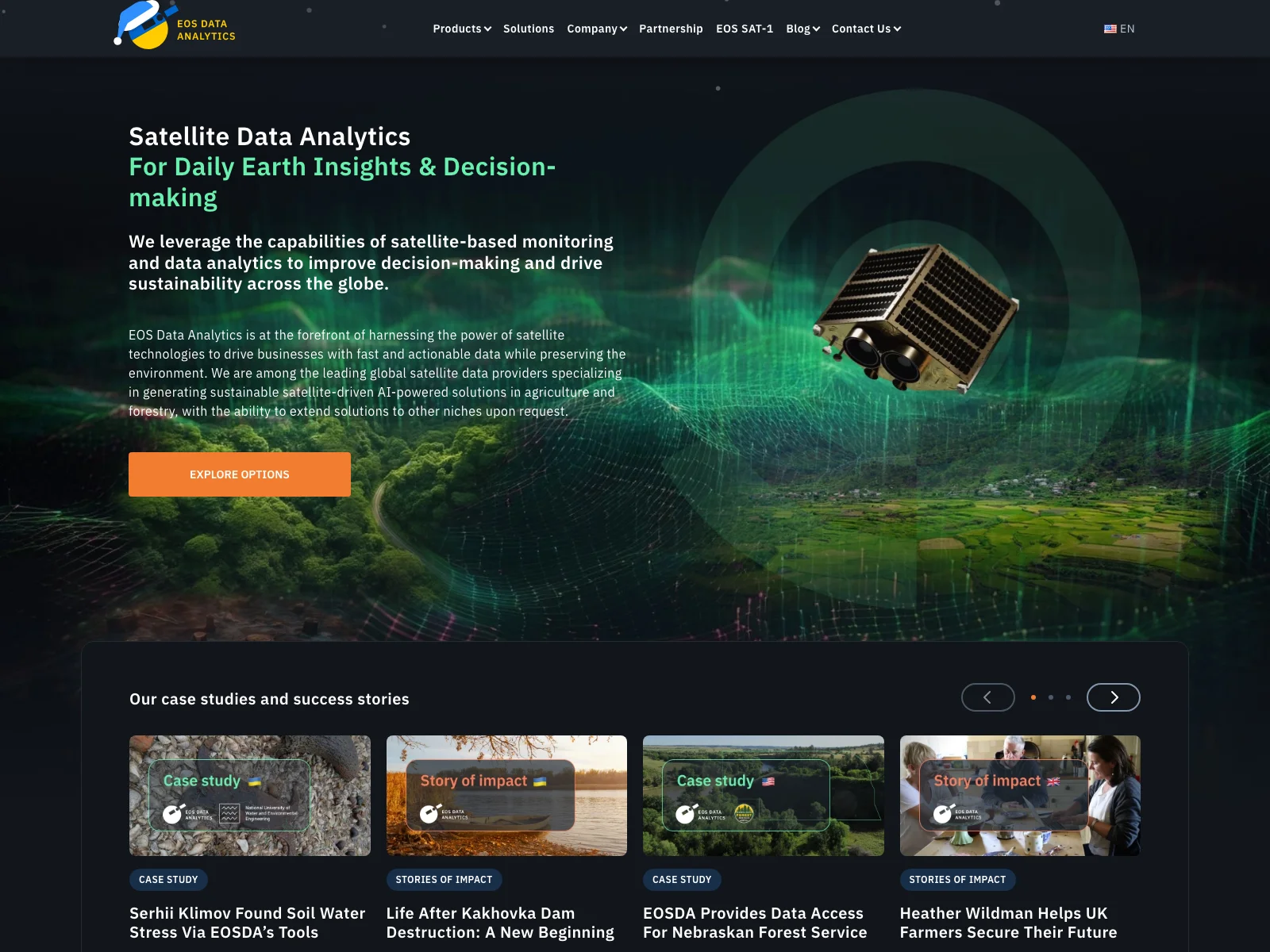
Satellite Data Analytics by EOSDA
EOS Data Analytics is a leading force in the realm of satellite data analytics. It specializes in leveraging satellite-based monitoring and data analytics capabilities to enhance decision-making processes across the globe.
Overview
EOSDA focuses on harnessing the power of satellite technologies to provide businesses with fast and actionable data while also being committed to environmental preservation. They are among the top global satellite data providers, especially in generating sustainable AI-powered solutions for agriculture and forestry, with the potential to expand to other areas upon request.
Core Features
- In-house Experts: A team of experts, including those with PhDs and 30 years of experience, ensures that their satellite image analysis products and solutions meet client needs precisely.
- Advanced Spatial Data Sources: They combine data from a wide range of sources like satellite imagery, historical parameters, custom indices, etc., for comprehensive satellite analytics.
- EOSDA Crop Monitoring: An online one-stop solution for farmers and agribusiness clients. It enables remote tracking of crop health through regularly updated satellite imagery and geospatial analytics. Users can store field data, manage croplands globally, access weather forecasts, and plan field activities.
- EOSDA LandViewer: The ultimate space data analytics software for storing and processing numerous images from diverse satellite sources. It offers a bird’s-eye view to solve real-world business problems.
Basic Usage
For those new to using EOSDA's services, it's quite straightforward. If you're a farmer interested in monitoring your crops, you can simply utilize the EOSDA Crop Monitoring platform. Input your field data, and regularly check the updated satellite imagery to keep track of crop health. For businesses looking to analyze a particular area of interest, the EOSDA LandViewer allows you to upload relevant satellite images and start the analysis process. Compared to some existing satellite data analytics solutions, EOSDA stands out with its comprehensive features and commitment to sustainability. It offers a more holistic approach to satellite data utilization, ensuring that users get the most accurate and useful insights for their decision-making needs.