FlyPix: Revolutionizing Geospatial Analysis with AI

FlyPix

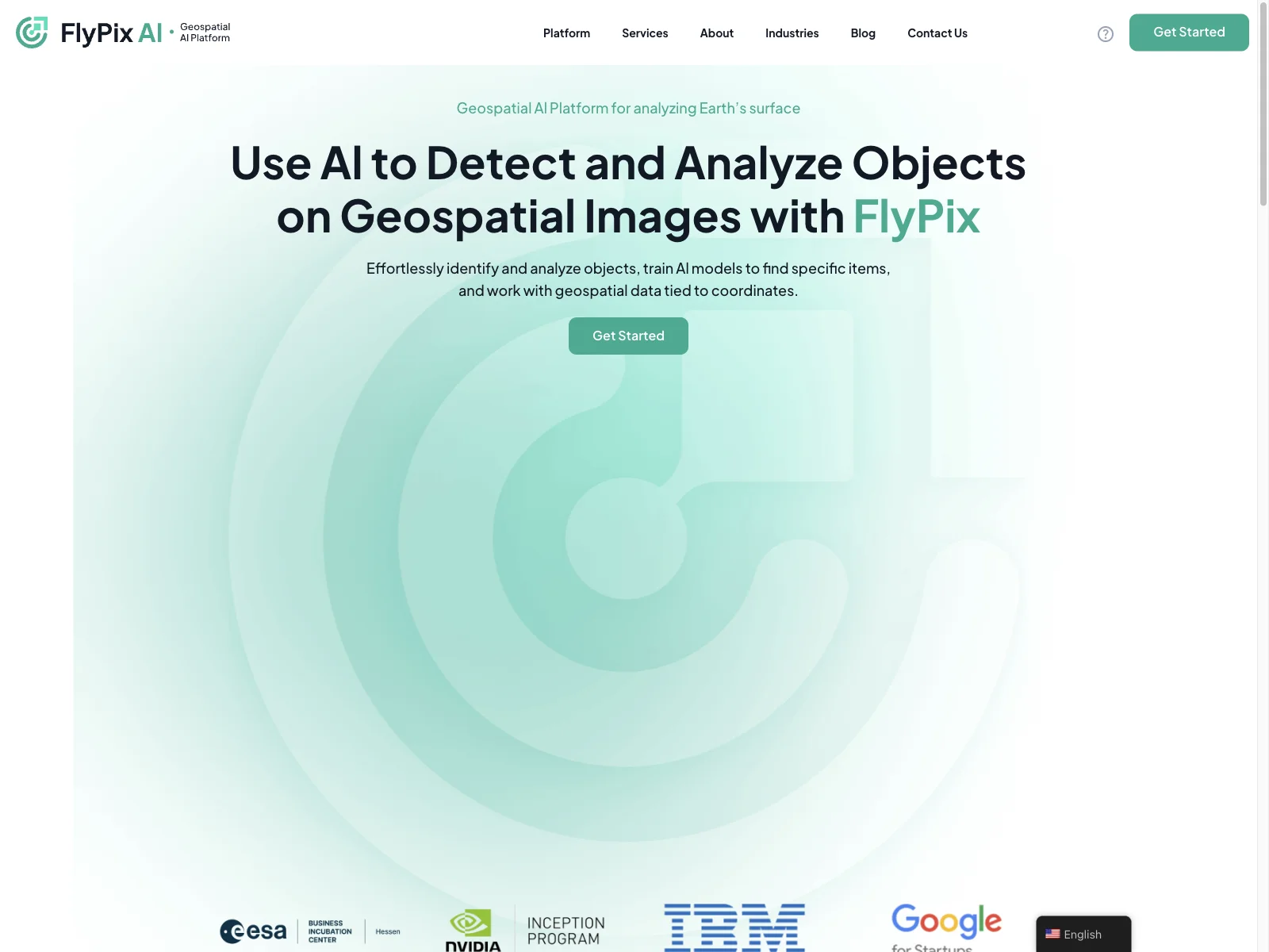
FlyPix is an AI-powered geospatial analysis platform that saves time and offers customizable solutions for various industries.
Visit Website
FlyPix: Revolutionizing Geospatial Analysis with AI

FlyPix: Revolutionizing Geospatial Analysis

FlyPix is a cutting-edge AI-powered geospatial analysis platform that is transforming the way we understand and interact with the Earth's surface. With its advanced capabilities, FlyPix offers a seamless and efficient solution for analyzing geospatial images.

The core features of FlyPix are truly remarkable. It allows users to effortlessly identify and analyze objects on geospatial images. Users can train AI models to find specific items, making it highly customizable to meet the unique needs of various industries. Additionally, FlyPix works with geospatial data tied to coordinates, providing accurate and detailed analysis.

In terms of basic usage, FlyPix offers an interactive sandbox that allows users to explore its capabilities. Users can select any object, click 'Find Similar', and witness how quickly the platform identifies and outlines all matching objects. This hands-on experience showcases the power and efficiency of FlyPix.

FlyPix is not only powerful but also time-saving. Leveraging advanced AI, it can quickly identify and outline numerous objects in geospatial images, making it ideal for analyzing complex and dense scenes. Compared to manual annotation, which can take 997 seconds, FlyPix can complete the same task in just 3 seconds, saving a significant amount of time.

Industries such as construction, port operations, agriculture, infrastructure maintenance, forestry, government, and ecotechnology can greatly benefit from FlyPix's AI-driven geospatial solutions. The platform adapts to the unique needs of each industry, allowing users to train custom AI models without the need for programming knowledge or deep AI expertise.

FlyPix offers a range of pricing plans to suit different needs. From the Basic plan with free access for 1 user seat to the Professional plan with advanced features and increased storage and credits, there is an option for every user.

The platform also keeps users informed with the latest news and events. FlyPix AI has participated in several prestigious conferences, demonstrating its commitment to innovation and excellence in the field of geospatial analysis.

In conclusion, FlyPix is a game-changer in the world of geospatial analysis. Its powerful features, user-friendly interface, and industry adaptability make it a must-have tool for anyone working with geospatial data.
Featured AI Tools

Ocular AI

Ocular AI is a data engine for computer vision, transforming data for AI applications.

Vectary

Vectary

Vectary is an online platform for creating 3D and AR designs with powerful features.

Jsonify

Jsonify is an AI-powered data extraction tool that helps users automate various data collection tasks.

AskCSV

AskCSV

AskCSV is an AI-powered data analysis tool that provides valuable insights from CSV files.

Prisma Editor

Prisma Editor is an AI-powered tool that visualizes and edits Prisma schemas easily.

WiseMapping

WiseMapping

WiseMapping is an AI-powered mind mapping tool that enables creation, sharing, and collaboration.

EdrawMax Online

EdrawMax Online

EdrawMax Online is an all-in-one diagramming tool with AI-powered features.

Basedash

Basedash

Basedash is an AI-powered data visualization tool that simplifies data management.

MyMap AI

MyMap AI is an AI-powered diagram creator that simplifies design for users.

WithUI

WithUI

WithUI is an AI-powered tool that enables quick building of AI mini-apps with no code.

SecureNest

SecureNest

SecureNest provides Swiss-based privacy solutions for a secure digital life.

AppFlows

AppFlows

AppFlows is an AI-powered tool that helps visualize app ideas quickly and easily.

Scrap.so

Scrap.so

Scrap.so is an AI-powered data collector that simplifies web scraping for users.

PandasAI

PandasAI

PandasAI is an AI-powered data analysis tool that enables natural language interaction with data.

Climate Policy Radar

Climate Policy Radar

Climate Policy Radar is an AI-powered platform that organizes and democratizes climate data for effective action.

Rose AI

Rose AI is an intuitive platform for data discovery and visualization, helping users save time and gain insights.

Labelbox

Labelbox

Labelbox is an all-in-one data factory for GenAI, offering various solutions for data management and model training.

Datavolo

Datavolo

Datavolo offers multimodal data pipelines for AI, enhancing LLM capabilities.

Groupt

Groupt

Groupt is an AI-powered data categorization tool that provides clear insights for better decisions.

FlyPix

FlyPix

FlyPix is an AI-powered geospatial analysis platform that saves time and enhances object detection.